The Flin Flon Adventures: Day 1 Part 1
Originally planned as a snowboarding trip with a study element the weather on the ground and general things that needed to get done morphed this idea into a fully blown road round trip from Toronto to the Rockies and back - probably close to 9000km in total. While planning the trip roughly we have decided on just a very few waypoints to leave us enough room for decision making. One of those targets is Flin Flon the town where the most northern road that goes west starts. Oh and we have power and 1 Gigabyte of 23Mbit internet on board while the coverage won´t be available everywhere a lot of our route is covered so I try to keep up to date as much as possible.
Driving out of Toronto just before sunrise we have now entered the venerable canadian shield - territory of the Mohawk tibe. Harsch rock formations and beautiful meditative lakes lining the street. Our destination for the day will be Wawa on Lake Superior said to be the most beautiful road in Ontario - so we try to make it til sunset and then also get the other half on sunrise.
Internet has been extremely rare - had no cellphone coverage for 1200km so I am running behind with report and photos. We slept last night in a Motel 200km after Wawa. Today we drove along the last bit of Lake Suprerior - stunning road. Then went west direction Winnipeg to stay over in Kenory - the last town in Ontario. We are offered a stay at Brian Cousin, computer geek with fast network so I am able to finish at least the photoset of the first half of the first day. More on next internet connection.
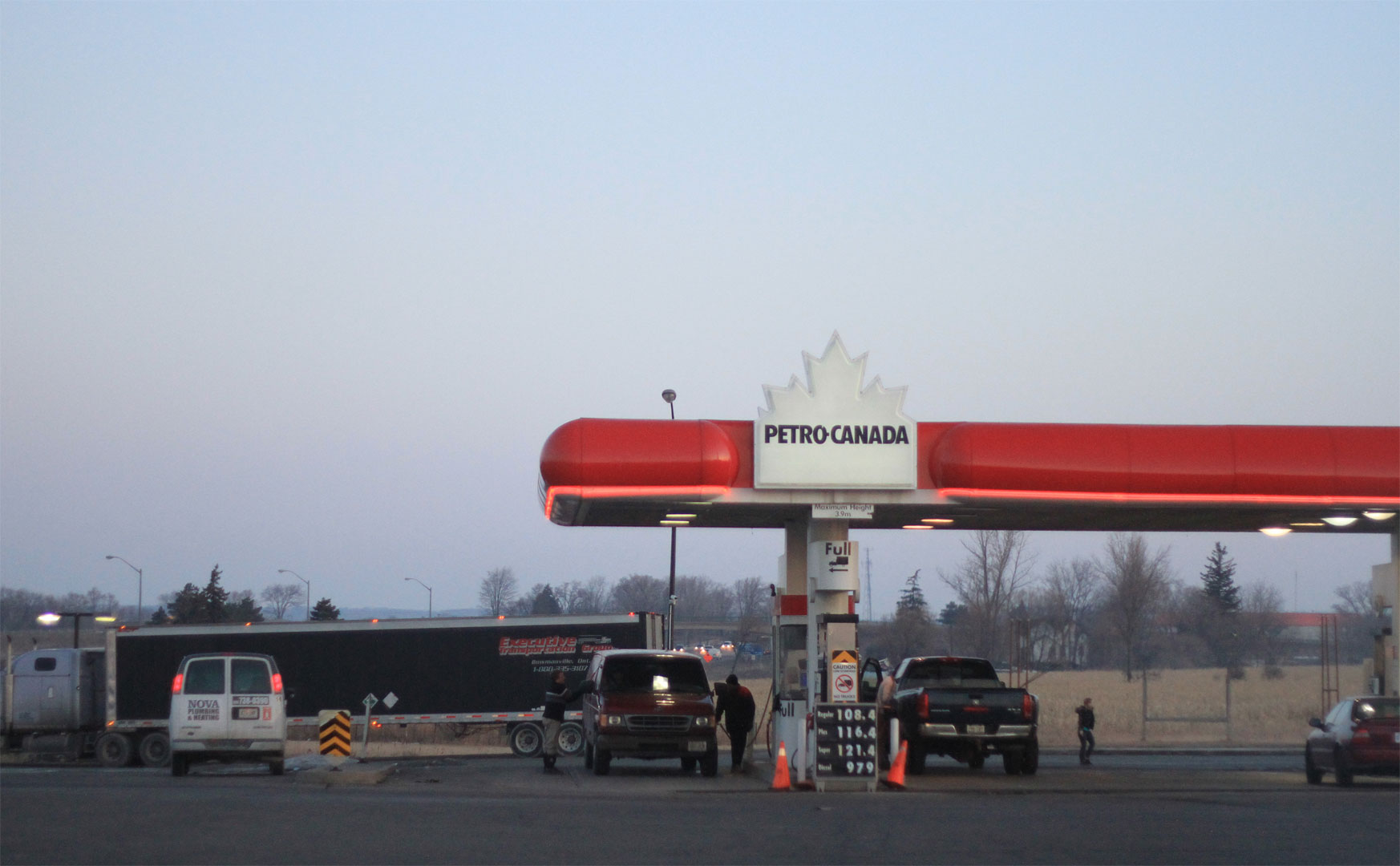
gasstation - half price of germany at least.
Last time to see so many cars on one place our start in Toronto

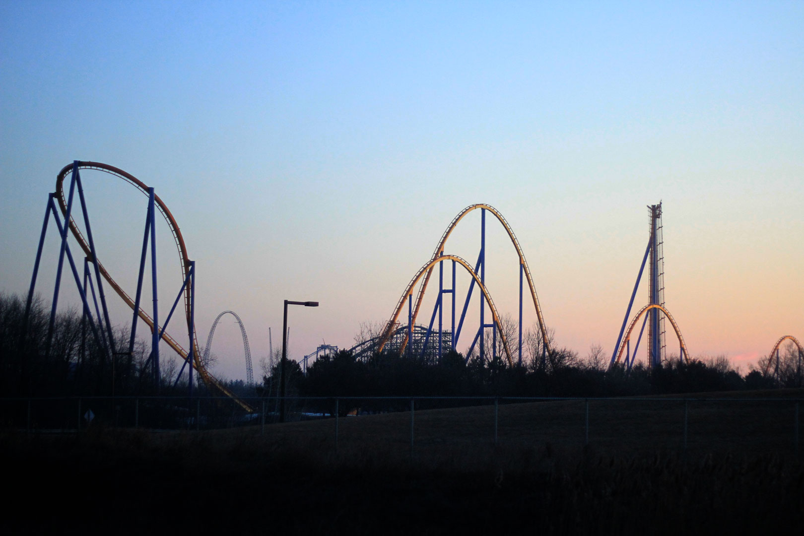
Canadas Wonderland just outside of Toronto

Brian having fun driving

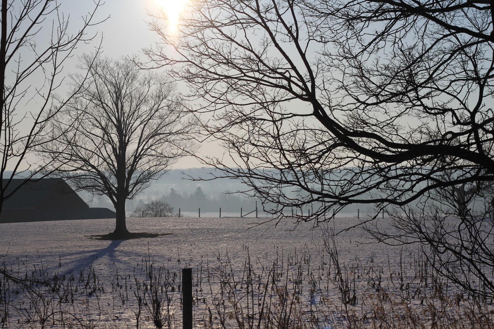
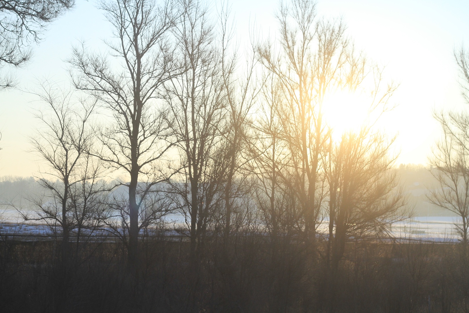
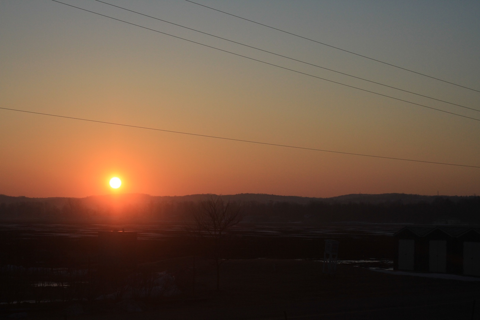
Sunrises in the snowbelt. Breathtaking start of the trip.


The canadian shield - still with us after 2000km - hard granit holding beautiful meditative lakes. At this time of the year all lakes should have icecovers - its much too warm everywhere. Coldsnap and snow expected next week - perfect timing for snowboarding if it happens.

The land of the First Nation of the Mohawk 2.5 hours north of Toronto

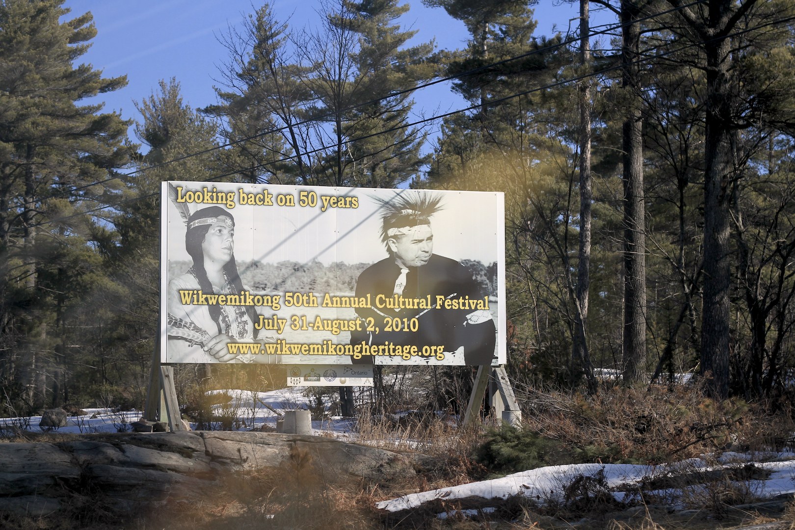
First Nation of the Wikwemikong
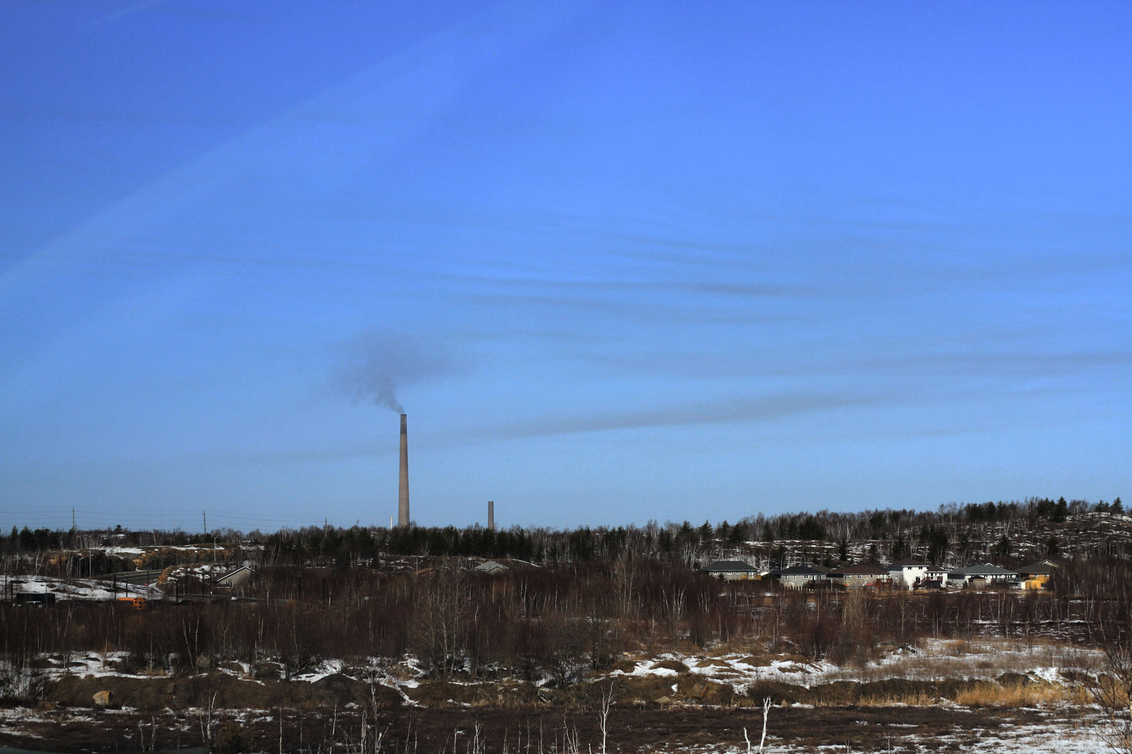
Lots of not so pleasant views, the blue sky was brown over the smokestack
Prime property on southside view

A horsefarm on the road

We are going west - far west

Comments
i'm wating for more! :)
Posted by: marc | 11.03.10 8:30